Image Credit: Peter Britton
The LLS-2 Recapturing the Historic Landscapes project is targeted at anybody with an interest in the history of the Levels and their environs.
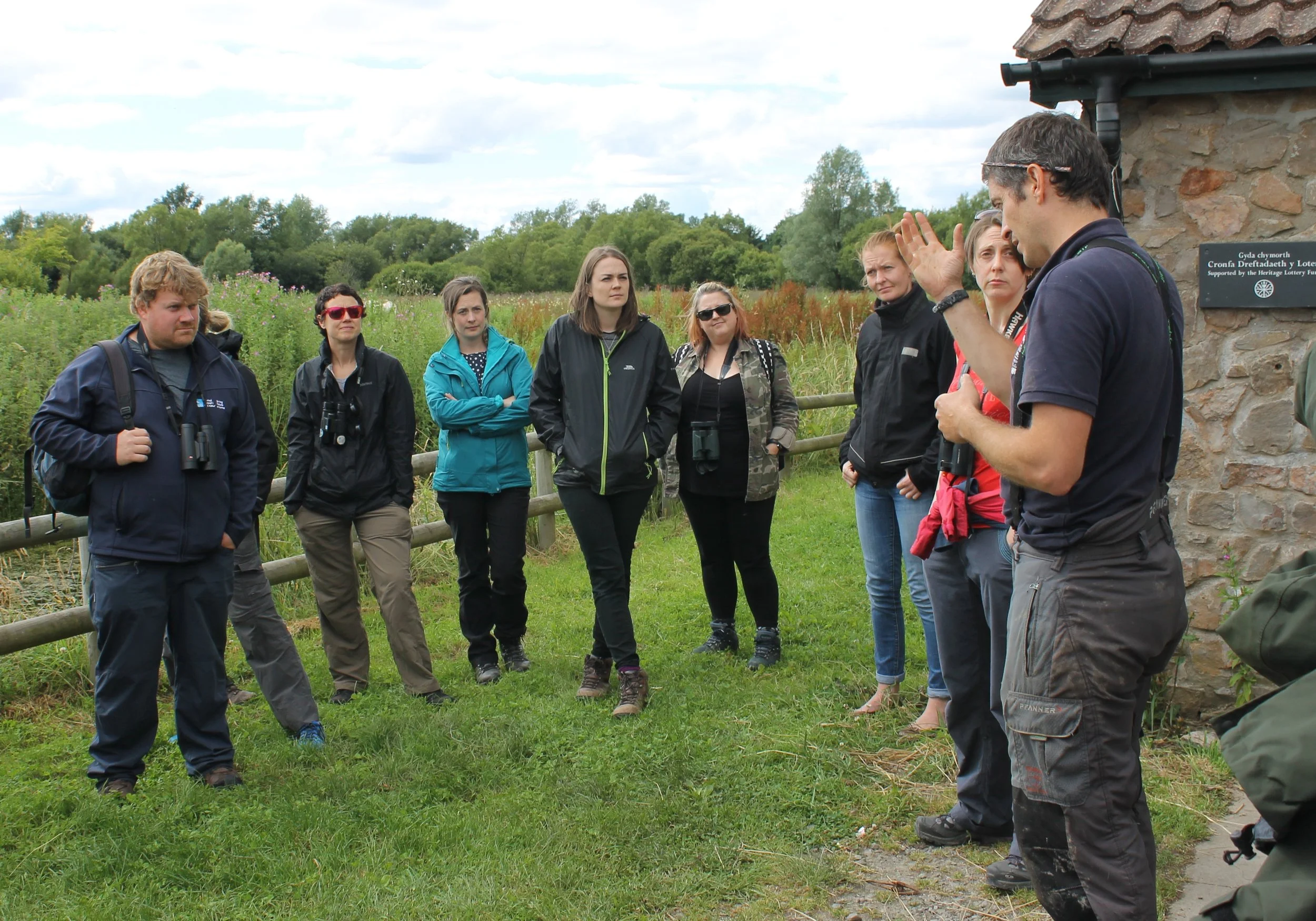
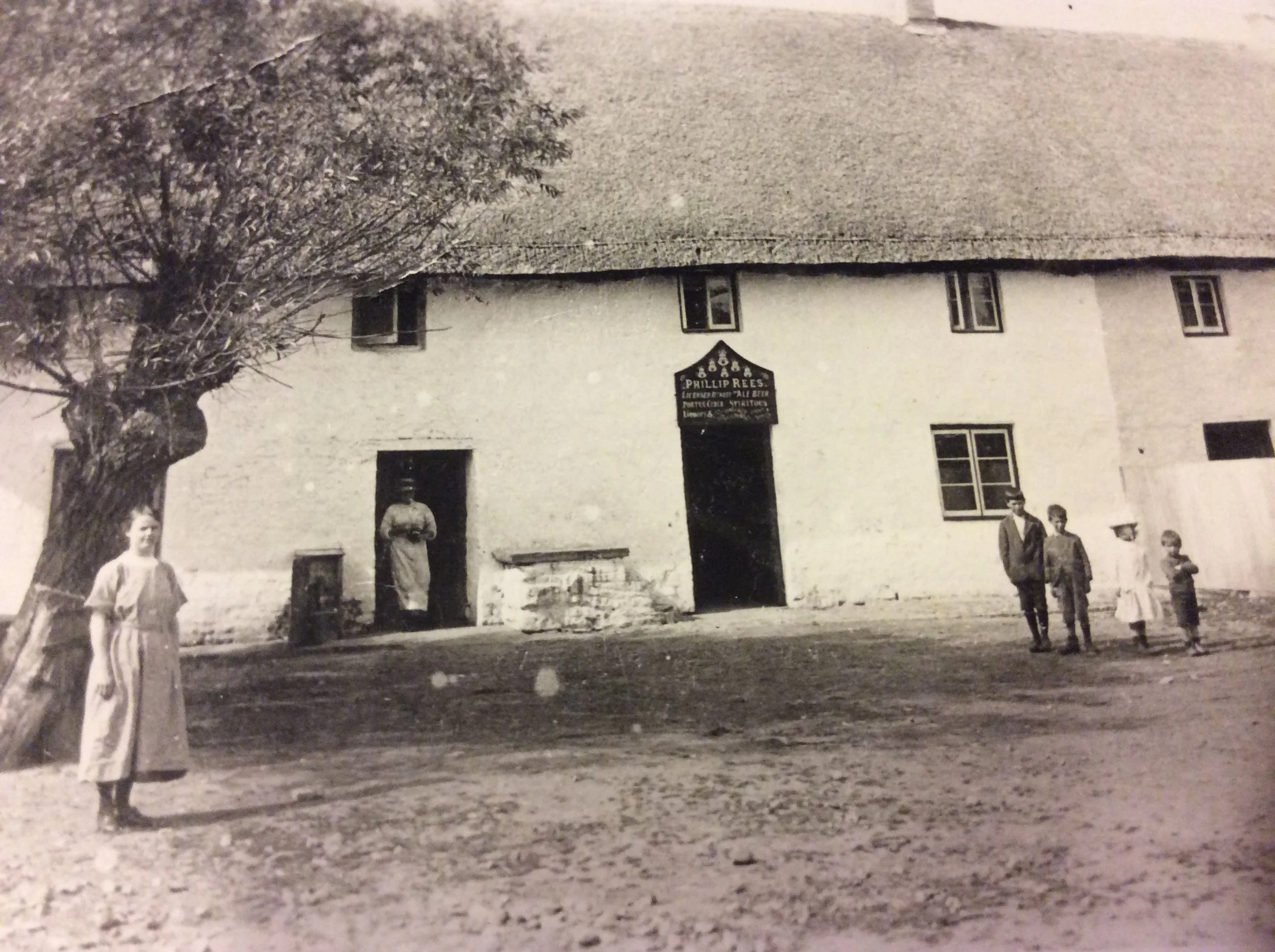
This exciting project provides volunteering activities, professional supervision and training for people to undertake a wide range of cultural and historical tasks including: archive research, GIS mapping, building recording, walkover surveys, archaeology and submitting records to the Historic Environment Record.
Archive-based activities have introduced volunteers to documentary research, enabling skills to be developed in data analysis and transcription. Cartographic and field-based activities allow volunteers to ‘ground-truth’ the information collected during the archival research and walkover surveys help us discover which aspects from historic maps survive in the modern landscape. Where possible, archaeological ‘test-pit’ excavations are carried out across several historical villages in the Levels and volunteers receive training to understand and interpret the buried archaeological resources.
The project is using the records, court minutes and maps of the Monmouthshire Commissioners of Sewers to explore the development of the landscape of the Levels.
The records reveal the impact of tidal and fluvial flooding, the continuity of land tenure, settlement patterns, local government in action, and much, much more. Sewers in this instance are watercourses, either natural or manmade, and commissioners of sewers throughout England and Wales held jurisdiction over drainage and sea defence in low-lying coastal lands including the Gwent, Somerset and Gloucestershire Levels beside the Severn Estuary.
The Court of Sewers was a court of record, on a par with Quarter Sessions, and many of its commissioners were also justices of the peace. The work of the court affected almost everyone living on the Levels because tenants and landowners were responsible for repairs and maintenance. The records are therefore brimming with personal names.
Perhaps when you saw the word 'sewers' you thought of rats! The late Rick Turner (who was instrumental in developing the Living Levels project) thought that the history group should be called the RATS (Research and Transcription Service) in recognition of its work using the records of the Monmouthshire Court of Sewers. The language of those records can be a challenge. They contain many archaic terms, often unique to land drainage and no longer in use. Rick started 'Levels Lingo', a glossary that continues to develop during the Living Levels project.
The RATS are working on an exciting range of topics which recapture the historic landscape throughout the Living Levels Landscape Partnership area (from the river Wye at Chepstow to the East Cardiff Moors). Every parish is represented in one way or another, and the watery landscape along the Severn Estuary is included too.
The 'Recapturing' project has successfully brought together amateurs and professionals. We are all learning more about the historic landscape, and the RATS are sharing their findings through story boards at Living Levels events, short talks and a book that will be published in the Spring of 2021. From pre-history to the present day, there is something for everyone!
Please contact the Living Levels team if you want to be involved in GIS mapping, building recording, walkover surveys and archaeology. The RATS project is currently full. To join the waiting list, please email info@livinglevels.org.uk.


